We are happy to announce the next GeoStyler Code Sprint!
The Code Sprint will be held from 28.-30.09.2026. This year, it will be an online-only event.
There are many things that can be improved to make GeoStyler even better, this is the time to participate!
We welcome everyone who is interested in coding, writing tutorials or documentation, community building and/or improving GeoStyler in general.
To register for the Code Sprint, simply write an email to reports@geostyler.org and we will get in touch with you.
We are excited to meet you!
The GeoStyler Core Team
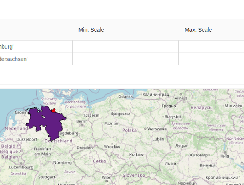
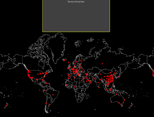
See here the fantastic results of the last Code Sprint in 2025.
Not bound to a specific styling format. Easily convert from one style to another
Extremely flexible. Customize UI components with ease
GeoStyler-UI, Style-Parsers and Client: Use what you need
Convert between different formats from the command line
Our CLI tool allows converting existing styles from one format to another. This comes in handy when multiple styles need to be converted from one format into another. E.g. convert all your QGIS styles to SLD and publish them via GeoServer.
The Rest-API allows for style conversions using standard HTTP requests.
As an official OSGeo Community Project, we directly support and interact with the Open Source Geo Community so that everyone can benefit.